Denne Park House seen from the Horsham Round
Introduction
The photograph on this page of Denne Park House seen from the Horsham Round by Shazz as part of the Geograph project.
The Geograph project started in 2005 with the aim of publishing, organising and preserving representative images for every square kilometre of Great Britain, Ireland and the Isle of Man.

There are currently over 7.5m images from over 14,400 individuals and you can help contribute to the project by visiting https://www.geograph.org.uk
Denne Park House seen from the Horsham Round
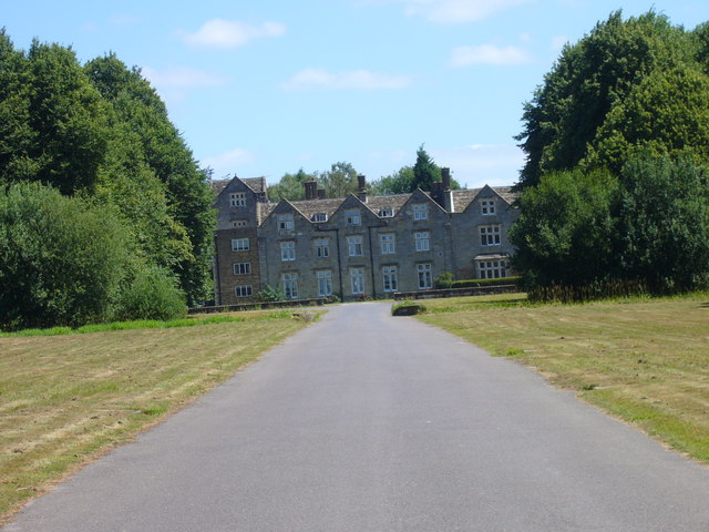
Image: © Shazz Taken: 14 Jul 2006
The Horsham Round is a circular long distance path of 28 miles.
Images are licensed for reuse under creativecommons.org/licenses/by-sa/2.0
Image Location
Latitude
51.049183
Longitude
-0.333648