Prospect Place
Introduction
The photograph on this page of Prospect Place by Martin Addison as part of the Geograph project.
The Geograph project started in 2005 with the aim of publishing, organising and preserving representative images for every square kilometre of Great Britain, Ireland and the Isle of Man.

There are currently over 7.5m images from over 14,400 individuals and you can help contribute to the project by visiting https://www.geograph.org.uk
Prospect Place
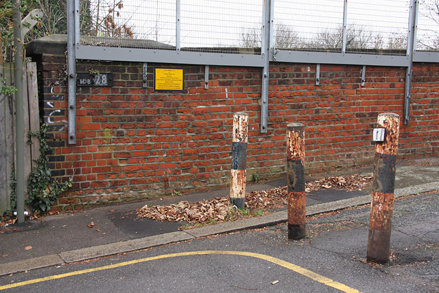
Image: © Martin Addison Taken: 26 Nov 2008
The bridge over the Northern Line, HB28 - number on the parapet on the left - is blocked by bollards at both ends to prevent vehicles from accessing the bridge. It is somewhat amusing therefore to find that the yellow sign asks for collisions of vehicles with the bridge to be reported to the line controller!
Images are licensed for reuse under creativecommons.org/licenses/by-sa/2.0
Image Location
Latitude
51.589962
Longitude
-0.16842