Tilt Green
Introduction
The photograph on this page of Tilt Green by Ian Capper as part of the Geograph project.
The Geograph project started in 2005 with the aim of publishing, organising and preserving representative images for every square kilometre of Great Britain, Ireland and the Isle of Man.

There are currently over 7.5m images from over 14,400 individuals and you can help contribute to the project by visiting https://www.geograph.org.uk
Tilt Green
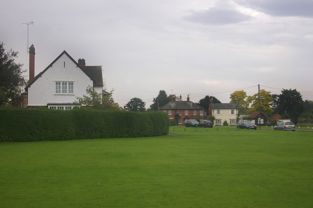
Image: © Ian Capper Taken: 9 Sep 2008
Part of The Tilt conservation area. Historically, the area was used for May Day celebrations, until stopped in 1902 due to complaints from the locals. Apparently the annual influx of gypsies and showmen proved too great an annoyance to the nearby residents. Cricket matches and horse racing also took place here in the past.
Images are licensed for reuse under creativecommons.org/licenses/by-sa/2.0
Image Location
Latitude
51.324444
Longitude
-0.400893