Route of Thames & Severn Canal through Chalford
Introduction
The photograph on this page of Route of Thames & Severn Canal through Chalford by David Stowell as part of the Geograph project.
The Geograph project started in 2005 with the aim of publishing, organising and preserving representative images for every square kilometre of Great Britain, Ireland and the Isle of Man.

There are currently over 7.5m images from over 14,400 individuals and you can help contribute to the project by visiting https://www.geograph.org.uk
Route of Thames & Severn Canal through Chalford
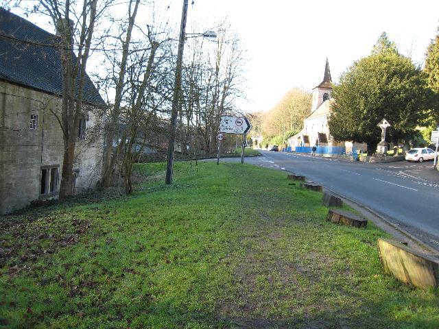
Image: © David Stowell Taken: 30 Jan 2008
The Thames & Severn Canal and the main Stroud - Cirencester Road run side by side approaching Chalford. While the canal was abandoned some road widening and re-alignment has taken place over the canal. In 1967 the road here was widened and the remainder of the canal is currently buried under the grass verge.
Images are licensed for reuse under creativecommons.org/licenses/by-sa/2.0
Image Location
Latitude
51.721117
Longitude
-2.157744