Porthkerry Road Methodist Church, Barry
Introduction
The photograph on this page of Porthkerry Road Methodist Church, Barry by Mick Lobb as part of the Geograph project.
The Geograph project started in 2005 with the aim of publishing, organising and preserving representative images for every square kilometre of Great Britain, Ireland and the Isle of Man.

There are currently over 7.5m images from over 14,400 individuals and you can help contribute to the project by visiting https://www.geograph.org.uk
Porthkerry Road Methodist Church, Barry
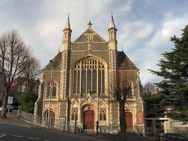
Image: © Mick Lobb Taken: 19 Nov 2008
One of four places of worship in the immediate area though one has now closed and is in the process of being sold.
Images are licensed for reuse under creativecommons.org/licenses/by-sa/2.0
Image Location
Latitude
51.398468
Longitude
-3.2869