Fore Street, Tamerton Foliot
Introduction
The photograph on this page of Fore Street, Tamerton Foliot by Derek Harper as part of the Geograph project.
The Geograph project started in 2005 with the aim of publishing, organising and preserving representative images for every square kilometre of Great Britain, Ireland and the Isle of Man.

There are currently over 7.5m images from over 14,400 individuals and you can help contribute to the project by visiting https://www.geograph.org.uk
Fore Street, Tamerton Foliot
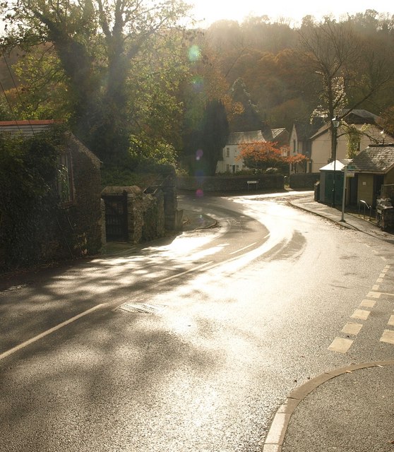
Image: © Derek Harper Taken: 8 Nov 2008
Looking downhill and into the sun. The curving village street drops past the junctions with Nursery Close and Lambert Road on the right.
Images are licensed for reuse under creativecommons.org/licenses/by-sa/2.0
Image Location
Latitude
50.428493
Longitude
-4.156309