Footpath to Woodend Crescent
Introduction
The photograph on this page of Footpath to Woodend Crescent by Mark Anderson as part of the Geograph project.
The Geograph project started in 2005 with the aim of publishing, organising and preserving representative images for every square kilometre of Great Britain, Ireland and the Isle of Man.

There are currently over 7.5m images from over 14,400 individuals and you can help contribute to the project by visiting https://www.geograph.org.uk
Footpath to Woodend Crescent
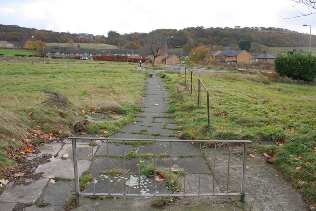
Image: © Mark Anderson Taken: 11 Nov 2008
Woodend flats were compared to a Dickensian slum by Shipley MP, Chris Leslie in 2002. They have been demolished, but the paths and roads remain. Work is due to start on building houses and flats to replace them in summer 2009. See also: Image
Images are licensed for reuse under creativecommons.org/licenses/by-sa/2.0
Image Location
Latitude
53.835678
Longitude
-1.761395