Wollaton Road and the Park wall
Introduction
The photograph on this page of Wollaton Road and the Park wall by Alan Murray-Rust as part of the Geograph project.
The Geograph project started in 2005 with the aim of publishing, organising and preserving representative images for every square kilometre of Great Britain, Ireland and the Isle of Man.

There are currently over 7.5m images from over 14,400 individuals and you can help contribute to the project by visiting https://www.geograph.org.uk
Wollaton Road and the Park wall
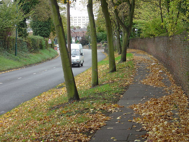
Image: © Alan Murray-Rust Taken: 19 Oct 2008
The wall on the right is the former precinct wall of Wollaton Park. There is now housing behind it, which also bears the Wollaton Road address.
Images are licensed for reuse under creativecommons.org/licenses/by-sa/2.0
Image Location
Latitude
52.95468
Longitude
-1.199744