Leys Park Road
Introduction
The photograph on this page of Leys Park Road by Richard Webb as part of the Geograph project.
The Geograph project started in 2005 with the aim of publishing, organising and preserving representative images for every square kilometre of Great Britain, Ireland and the Isle of Man.

There are currently over 7.5m images from over 14,400 individuals and you can help contribute to the project by visiting https://www.geograph.org.uk
Leys Park Road
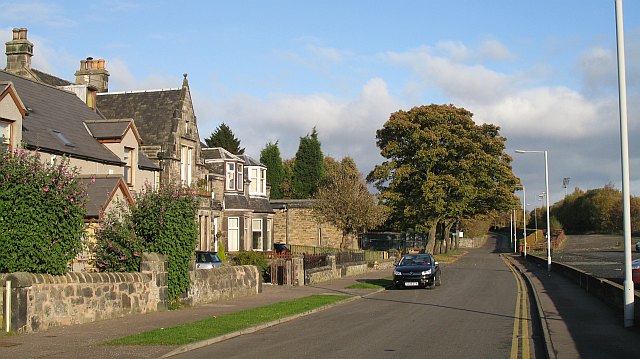
Image: © Richard Webb Taken: 31 Oct 2008
A dead end for motors, but a useful through route on a bike, using the old railway behind East End Park.
Images are licensed for reuse under creativecommons.org/licenses/by-sa/2.0
Image Location
Latitude
56.074773
Longitude
-3.448888