Sections of disused piping
Introduction
The photograph on this page of Sections of disused piping by Evelyn Simak as part of the Geograph project.
The Geograph project started in 2005 with the aim of publishing, organising and preserving representative images for every square kilometre of Great Britain, Ireland and the Isle of Man.

There are currently over 7.5m images from over 14,400 individuals and you can help contribute to the project by visiting https://www.geograph.org.uk
Sections of disused piping
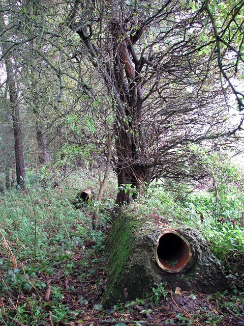
Image: © Evelyn Simak Taken: 2 Nov 2008
These two short sections of broken and disused piping set in concrete are located on the edge of Oak Belt. Scottow Pond > http://www.geograph.org.uk/photo/1031108 is a fishing lake; it is surrounded by Oak Belt, a mixed plantation woodland of coppiced and standard trees.
Images are licensed for reuse under creativecommons.org/licenses/by-sa/2.0
Image Location
Latitude
52.771735
Longitude
1.356035