Bovey Tracey: The Church of St John the Evangelist
Introduction
The photograph on this page of Bovey Tracey: The Church of St John the Evangelist by Nigel Cox as part of the Geograph project.
The Geograph project started in 2005 with the aim of publishing, organising and preserving representative images for every square kilometre of Great Britain, Ireland and the Isle of Man.

There are currently over 7.5m images from over 14,400 individuals and you can help contribute to the project by visiting https://www.geograph.org.uk
Bovey Tracey: The Church of St John the Evangelist
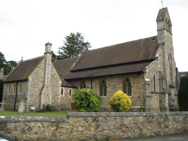
Image: © Nigel Cox Taken: 18 Oct 2008
The church was originally built and consecrated in 1853 as a chapel of ease to Image, later becoming a church with a parish in its own right. The plot of land where it was built is on Bovey Tracey Heath, in the angle formed by Ashburton Road and Newton Road.
Images are licensed for reuse under creativecommons.org/licenses/by-sa/2.0
Image Location
Latitude
50.587562
Longitude
-3.67801