Path towards Cliftonville
Introduction
The photograph on this page of Path towards Cliftonville by Nick Smith as part of the Geograph project.
The Geograph project started in 2005 with the aim of publishing, organising and preserving representative images for every square kilometre of Great Britain, Ireland and the Isle of Man.

There are currently over 7.5m images from over 14,400 individuals and you can help contribute to the project by visiting https://www.geograph.org.uk
Path towards Cliftonville
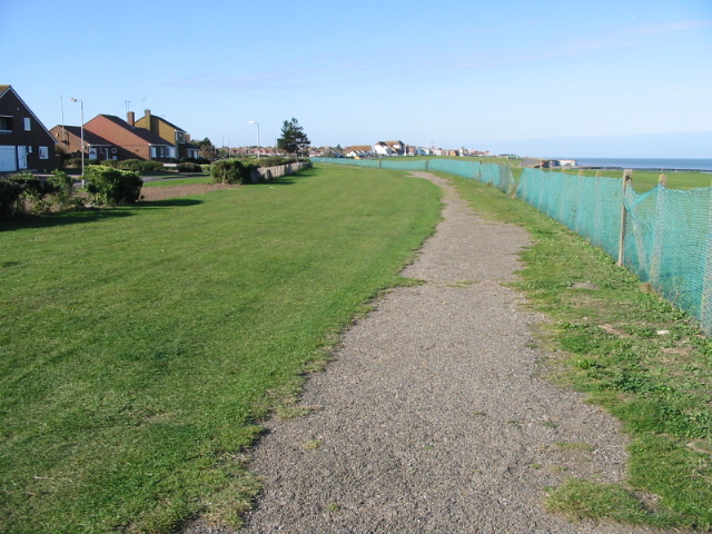
Image: © Nick Smith Taken: 18 Oct 2008
Running alongside the road known as The Ridings and a miniature golf course on the right.
Images are licensed for reuse under creativecommons.org/licenses/by-sa/2.0
Image Location
Latitude
51.390762
Longitude
1.423723