Fairlie Roads
Introduction
The photograph on this page of Fairlie Roads by wfmillar as part of the Geograph project.
The Geograph project started in 2005 with the aim of publishing, organising and preserving representative images for every square kilometre of Great Britain, Ireland and the Isle of Man.

There are currently over 7.5m images from over 14,400 individuals and you can help contribute to the project by visiting https://www.geograph.org.uk
Fairlie Roads
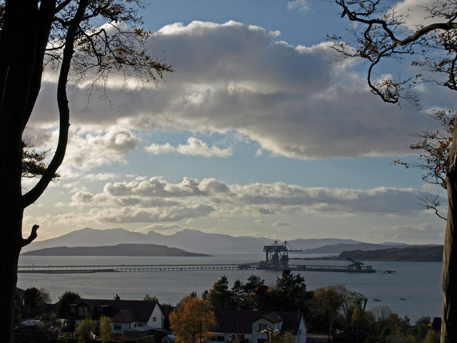
Image: © wfmillar Taken: 31 Oct 2008
Looking over Fairlie to Hunterston Ore Terminal Jetty. Little Cumbrae to the left with Arran beyond. Great Cumbrae to the right with Bute beyond. Fairlie Roads is the stretch of the Firth of Clyde between The Cumbrae Islands and Fairlie.
Images are licensed for reuse under creativecommons.org/licenses/by-sa/2.0
Image Location
Latitude
55.756315
Longitude
-4.850718