Wiltshire Gardens Maisonettes
Introduction
The photograph on this page of Wiltshire Gardens Maisonettes by Christine Westerback as part of the Geograph project.
The Geograph project started in 2005 with the aim of publishing, organising and preserving representative images for every square kilometre of Great Britain, Ireland and the Isle of Man.

There are currently over 7.5m images from over 14,400 individuals and you can help contribute to the project by visiting https://www.geograph.org.uk
Wiltshire Gardens Maisonettes
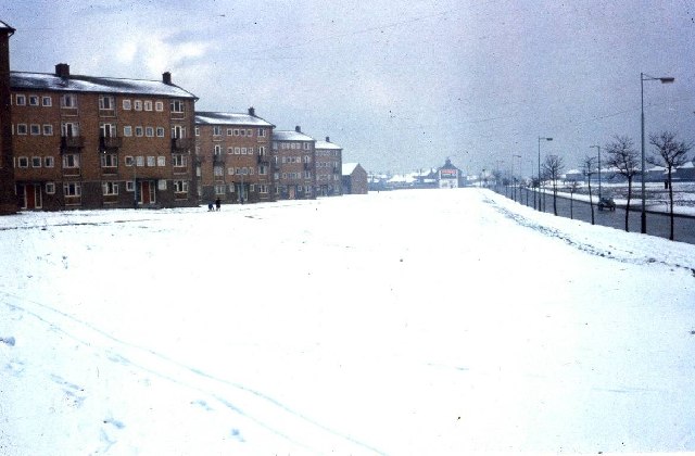
Image: © Christine Westerback Taken: Unknown
A large area of the green in front of these flats was used to widen the A1058. The flats were knocked down within the last decade. Were the winters really worse then?
Images are licensed for reuse under creativecommons.org/licenses/by-sa/2.0
Image Location
Latitude
55.001204
Longitude
-1.540367