Parkstone: Penn Hill and Archway Road
Introduction
The photograph on this page of Parkstone: Penn Hill and Archway Road by Chris Downer as part of the Geograph project.
The Geograph project started in 2005 with the aim of publishing, organising and preserving representative images for every square kilometre of Great Britain, Ireland and the Isle of Man.

There are currently over 7.5m images from over 14,400 individuals and you can help contribute to the project by visiting https://www.geograph.org.uk
Parkstone: Penn Hill and Archway Road
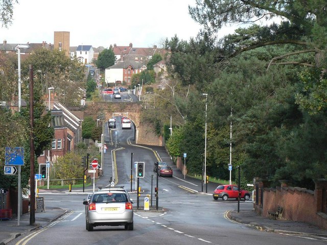
Image: © Chris Downer Taken: 27 Oct 2008
Looking down the northern end of Canford Cliffs Road, towards the five-way junction called Penn Hill. Looking beyond, it is easy to see how Archway Road gets its name, the main London to Weymouth railway line crossing it just before the ascent to Bournemouth Road.
Images are licensed for reuse under creativecommons.org/licenses/by-sa/2.0
Image Location


Leaflet Map data © OpenStreetMap
Latitude
50.723909
Longitude
-1.925147