Ariel Way I, W12
Introduction
The photograph on this page of Ariel Way I, W12 by Phillip Perry as part of the Geograph project.
The Geograph project started in 2005 with the aim of publishing, organising and preserving representative images for every square kilometre of Great Britain, Ireland and the Isle of Man.

There are currently over 7.5m images from over 14,400 individuals and you can help contribute to the project by visiting https://www.geograph.org.uk
Ariel Way I, W12
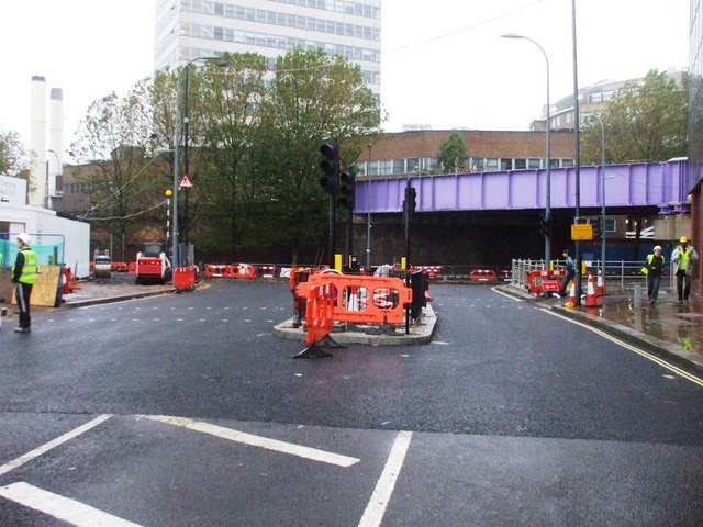
Image: © Phillip Perry Taken: 26 Oct 2008
The road has been widened, traffic lights being installed, and you can see where the new tarmac has been laid all for the new shopping centre and one of the new bus stations on the left of this picture opening on Thursday October 30 2008.
Images are licensed for reuse under creativecommons.org/licenses/by-sa/2.0
Image Location
Latitude
51.50943
Longitude
-0.223674