Mediaeval Fishponds - Park Farm, Thornbury
Introduction
The photograph on this page of Mediaeval Fishponds - Park Farm, Thornbury by Linda Bailey as part of the Geograph project.
The Geograph project started in 2005 with the aim of publishing, organising and preserving representative images for every square kilometre of Great Britain, Ireland and the Isle of Man.

There are currently over 7.5m images from over 14,400 individuals and you can help contribute to the project by visiting https://www.geograph.org.uk
Mediaeval Fishponds - Park Farm, Thornbury
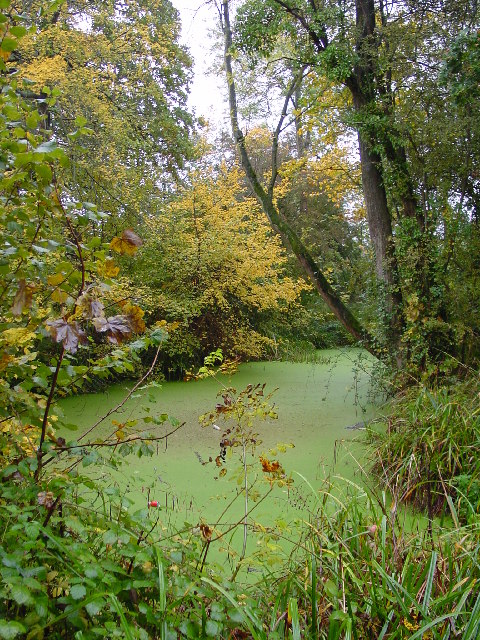
Image: © Linda Bailey Taken: 23 Oct 2004
The fishponds are shown on a map in 1716 but are believed to be much older - mid 13th century. The fish would have been carp and tench. The ponds were abandoned probably 300 - 400 years ago.
Images are licensed for reuse under creativecommons.org/licenses/by-sa/2.0
Image Location
Latitude
51.618445
Longitude
-2.525702