Offices, Cricketers' Way, Nevendon
Introduction
The photograph on this page of Offices, Cricketers' Way, Nevendon by Trevor Harris as part of the Geograph project.
The Geograph project started in 2005 with the aim of publishing, organising and preserving representative images for every square kilometre of Great Britain, Ireland and the Isle of Man.

There are currently over 7.5m images from over 14,400 individuals and you can help contribute to the project by visiting https://www.geograph.org.uk
Offices, Cricketers' Way, Nevendon
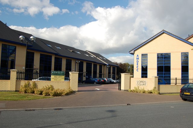
Image: © Trevor Harris Taken: 16 Oct 2008
These modern offices are built on the site of the former Cricketers' public house. It was originally on the corner of Nevendon Road and the Southend Arterial (A127) where traffic lights used to cause massive hold-ups. When the flyover was built the pub found itself on the slip road off the A127, and finally closed and was demolished a few years ago.
Images are licensed for reuse under creativecommons.org/licenses/by-sa/2.0
Image Location
Latitude
51.591819
Longitude
0.504877