Cranmore Avenue, Park South, Swindon
Introduction
The photograph on this page of Cranmore Avenue, Park South, Swindon by Brian Robert Marshall as part of the Geograph project.
The Geograph project started in 2005 with the aim of publishing, organising and preserving representative images for every square kilometre of Great Britain, Ireland and the Isle of Man.

There are currently over 7.5m images from over 14,400 individuals and you can help contribute to the project by visiting https://www.geograph.org.uk
Cranmore Avenue, Park South, Swindon
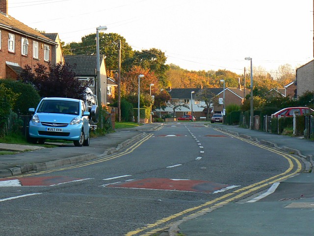
Image: © Brian Robert Marshall Taken: 12 Oct 2008
Cranmore Avenue is the longest road in the municipal housing estate. On the map it can be seen as 'U'' shaped having junctions at each end with Whitbourne Avenue, which runs east-west across the northern edge of the estate.
Images are licensed for reuse under creativecommons.org/licenses/by-sa/2.0
Image Location
Latitude
51.551645
Longitude
-1.746405