Downs Road
Introduction
The photograph on this page of Downs Road by Hugh Craddock as part of the Geograph project.
The Geograph project started in 2005 with the aim of publishing, organising and preserving representative images for every square kilometre of Great Britain, Ireland and the Isle of Man.

There are currently over 7.5m images from over 14,400 individuals and you can help contribute to the project by visiting https://www.geograph.org.uk
Downs Road
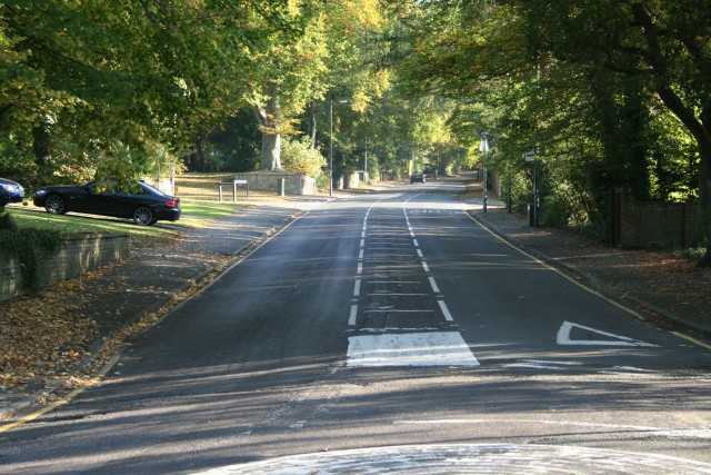
Image: © Hugh Craddock Taken: 12 Oct 2008
Downs Road, looking uphill from the mini-roundabout junction with Downs Hill Road. This broad, straight road, climbing up to the Downs, was laid out when Epsom common fields were inclosed in the second half of the nineteenth century.
Images are licensed for reuse under creativecommons.org/licenses/by-sa/2.0
Image Location
Latitude
51.325362
Longitude
-0.260219