Stone Barn at Muker in Swaledale
Introduction
The photograph on this page of Stone Barn at Muker in Swaledale by I Love Colour as part of the Geograph project.
The Geograph project started in 2005 with the aim of publishing, organising and preserving representative images for every square kilometre of Great Britain, Ireland and the Isle of Man.

There are currently over 7.5m images from over 14,400 individuals and you can help contribute to the project by visiting https://www.geograph.org.uk
Stone Barn at Muker in Swaledale
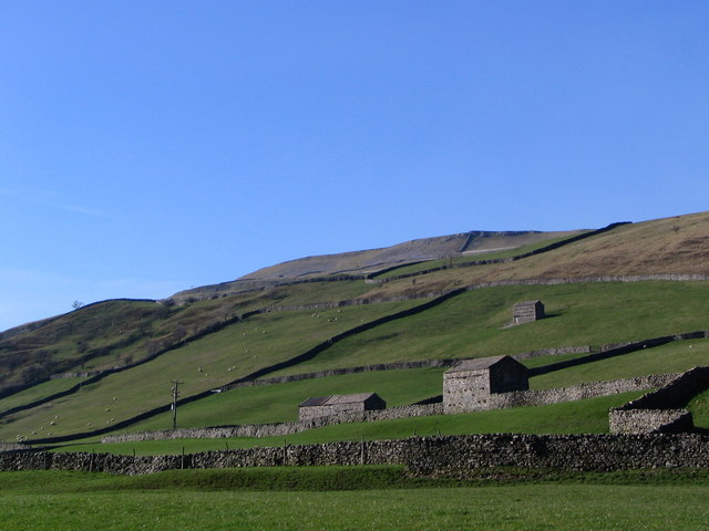
Image: © I Love Colour Taken: 5 Apr 2007
Stone barns in the fields to the west of the village of Muker in Swaledale. Dry stone walls; sheep grazing and the fells beyond.
Images are licensed for reuse under creativecommons.org/licenses/by-sa/2.0
Image Location
Latitude
54.377054
Longitude
-2.144676