IMAGES TAKEN NEAR TO
Grange Road, SELBY, YO8 6YS
Introduction
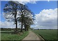
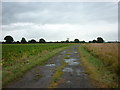
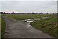
This page details the photographs taken nearby to Grange Road, YO8 6YS by members of the Geograph project.
The Geograph project started in 2005 with the aim of publishing, organising and preserving representative images for every square kilometre of Great Britain, Ireland and the Isle of Man.

There are currently over 7.5m images from over14,400 individuals and you can help contribute to the project by visiting https://www.geograph.org.uk
Image Map
Images are licensed for reuse under creativecommons.org/licenses/by-sa/2.0
Notes
- Clicking on the map will re-center to the selected point.
- The higher the marker number, the further away the image location is from the centre of the postcode.
Image Listing (4 Images Found)
Images are licensed for reuse under creativecommons.org/licenses/by-sa/2.0
Image
Details
Distance
2
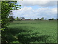
Junction with Barmby Ferry Road
The spire in the distance would have been a welcome sight for weary travellers when Barmby Ferry Road was used as a highway from the Howden area
Image: © ken mccann
Taken: 12 Jan 2008
0.21 miles