IMAGES TAKEN NEAR TO
Babthorpe, SELBY, YO8 6EH
Introduction
This page details the photographs taken nearby to YO8 6EH by members of the Geograph project.
The Geograph project started in 2005 with the aim of publishing, organising and preserving representative images for every square kilometre of Great Britain, Ireland and the Isle of Man.

There are currently over 7.5m images from over14,400 individuals and you can help contribute to the project by visiting https://www.geograph.org.uk
Image Map
Images are licensed for reuse under creativecommons.org/licenses/by-sa/2.0
Notes
- Clicking on the map will re-center to the selected point.
- The higher the marker number, the further away the image location is from the centre of the postcode.
Image Listing (7 Images Found)
Images are licensed for reuse under creativecommons.org/licenses/by-sa/2.0
Image
Details
Distance
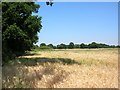
5

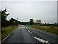
Towards Drax
Drax powerstation viewed from a farm track at a 'Pick Your Own' strawberry plantation.
Image: © DS Pugh
Taken: 16 Jul 2006
0.17 miles
6
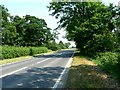
Farmland off the A63
Just leaving Hemingbrough on the road to Howden.
Image: © DS Pugh
Taken: 16 Jul 2006
0.18 miles
7
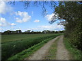
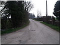
Inner Moor Lane
Close to West Hagg Farm.
Image: © Jonathan Thacker
Taken: 15 Apr 2017
0.23 miles