
IMAGES TAKEN NEAR TO
Cygnet Mews, YORK, YO51 9FH
Introduction
This page details the photographs taken nearby to Cygnet Mews, YO51 9FH by members of the Geograph project.
The Geograph project started in 2005 with the aim of publishing, organising and preserving representative images for every square kilometre of Great Britain, Ireland and the Isle of Man.

There are currently over 7.5m images from over14,400 individuals and you can help contribute to the project by visiting https://www.geograph.org.uk
Image Map
Images are licensed for reuse under creativecommons.org/licenses/by-sa/2.0
Notes
- Clicking on the map will re-center to the selected point.
- The higher the marker number, the further away the image location is from the centre of the postcode.
Image Listing (178 Images Found)
Images are licensed for reuse under creativecommons.org/licenses/by-sa/2.0
Image
Details
Distance
1
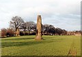
Devils Arrows
Bronze age site consisting of 3 Standing stones beside the A1 at Boroughbridge.
Image: © Paul Allison
Taken: Unknown
0.04 miles
2
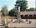
Boroughbridge War Memorial
Outside Boroughbridge Hall in this lovely little town.
Image: © Alison Stamp
Taken: 19 Aug 2005
0.04 miles
3
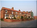
Roecliffe Lane
The Boroughbridge end of Roecliffe Lane.
Image: © DS Pugh
Taken: 28 Mar 2007
0.06 miles
5
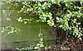
Boroughbridge, River Tutt
The benchmark is cut into the west face of the eastern parapet.
Image: © Mel Towler
Taken: 13 Mar 2022
0.07 miles
6
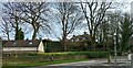
Boroughbridge, River Tutt
There is a benchmark cut into the west face of the eastern parapet. It is close to the start of the longer privet hedge as seen in the picture.
Image: © Mel Towler
Taken: 13 Mar 2022
0.07 miles
7
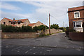
Cherry Lane off Roecliffe Lane, Boroughbridge
Image: © Ian S
Taken: 11 Sep 2020
0.07 miles
8
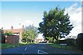
Druids Meadow, Boroughbridge
Near to The Three Arrows
Image: © Terry Robinson
Taken: 8 Oct 2008
0.07 miles
9
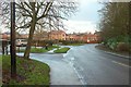
Roecliffe Lane, Boroughbridge
Entering the town from the west, and seen at the junctions with Arrows Crescent and Druids Meadow, both references to the nearby standing stones.
Image: © Derek Harper
Taken: 22 Dec 2016
0.08 miles
10
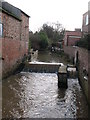
The River Tutt
An insignificant little river that hides behind the streets of Boroughbridge where it joins the Ure. The Tutt was notorious for causing flooding in the town centre when high water levels in the Ure caused it to back up and overflow. This has now been cured thanks to expensive flood defences and a barrier. Photo taken from a bridge, which by tradition was made from a fourth 'Devil's Arrow'. [very likely!]
Image: © Gordon Hatton
Taken: 6 Feb 2008
0.09 miles