
IMAGES TAKEN NEAR TO
Renfrew Green, YORK, YO32 5PF
Introduction
This page details the photographs taken nearby to Renfrew Green, YO32 5PF by members of the Geograph project.
The Geograph project started in 2005 with the aim of publishing, organising and preserving representative images for every square kilometre of Great Britain, Ireland and the Isle of Man.

There are currently over 7.5m images from over14,400 individuals and you can help contribute to the project by visiting https://www.geograph.org.uk
Image Map
Images are licensed for reuse under creativecommons.org/licenses/by-sa/2.0
Notes
- Clicking on the map will re-center to the selected point.
- The higher the marker number, the further away the image location is from the centre of the postcode.
Image Listing (11 Images Found)
Images are licensed for reuse under creativecommons.org/licenses/by-sa/2.0
Image
Details
Distance

2

Daffodils near Rose Cottages
The road heading north from Strensall.
Image: © DS Pugh
Taken: 22 Mar 2026
0.18 miles
3
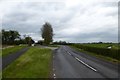
Road passing the Cemetery
Looking along the road between Strensall and Sheriff Hutton.
Image: © DS Pugh
Taken: 2 May 2016
0.18 miles
4

Entrance to the cemetery, Strensall
On the northern edge of the village, and the west side of the road to Sheriff Hutton.
Image: © Christine Johnstone
Taken: 18 Dec 2015
0.19 miles
5

Footpath sign along the road north of Strensall
A footpath heads to the left near Rose Cottages.
Image: © DS Pugh
Taken: 22 Mar 2026
0.21 miles
6
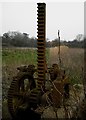
Detail of paddle gear at former lock
This is a detail of paddle gear surviving at the former lock on the River Foss Navigation shown in Image
Image: © Christopher Hall
Taken: 30 Mar 2014
0.21 miles
7
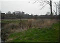
Former lock, Strensall
Just upstream of Strensall Bridge which is shown in Image is the site of this former lock on the River Foss Navigation. Today the river makes a slight loop around the site of the lock which went out of use after the abandonment Act of 1859. It is marked on large scale maps by two lines. Residential developments in Strensall are seen in the background
Image: © Christopher Hall
Taken: 30 Mar 2014
0.21 miles
8
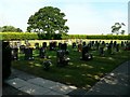
Strensall and Towthorpe Parish Council Cemetery
The cemetery in the photograph appears to have been opened relatively recently
Image: © Roger Gilbertson
Taken: 25 Jul 2006
0.23 miles
9
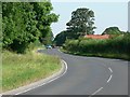
The Strensall To Sherriff Hutton Road
Image: © Roger Gilbertson
Taken: 25 Jul 2006
0.23 miles
10
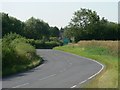
The Sherriff Hutton to Strensall Road
The signs advertise a coachworks and a plant nursery
Image: © Roger Gilbertson
Taken: 25 Jul 2006
0.23 miles