
IMAGES TAKEN NEAR TO
Thorgill, PICKERING, YO18 8SG
Introduction
This page details the photographs taken nearby to YO18 8SG by members of the Geograph project.
The Geograph project started in 2005 with the aim of publishing, organising and preserving representative images for every square kilometre of Great Britain, Ireland and the Isle of Man.

There are currently over 7.5m images from over14,400 individuals and you can help contribute to the project by visiting https://www.geograph.org.uk
Image Map
Images are licensed for reuse under creativecommons.org/licenses/by-sa/2.0
Notes
- Clicking on the map will re-center to the selected point.
- The higher the marker number, the further away the image location is from the centre of the postcode.
Image Listing (22 Images Found)
Images are licensed for reuse under creativecommons.org/licenses/by-sa/2.0
Image
Details
Distance
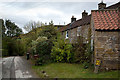
1
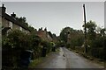
Thorgill
Hamlet located on the western side of Rosedale, served by a narrow lane that terminates at this point.
Attractive dwellings line both sides of the lane, probably originally built as result of the now abandoned iron industry.
Image: © Chris Heaton
Taken: 24 Sep 2023
0.01 miles
2
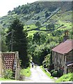
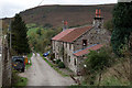
Thorgill
Sturdy stone built cottages along the only street in Thorgill. Most likely these dwellings would once have housed iron mine workers.
Image: © Gordon Hatton
Taken: 27 Aug 2015
0.01 miles
3
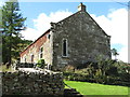
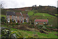
Former chapel at Thorgill
Former chapel with an inscribed stone on the gable end which reads - 'Wesleyan Methodist Chapel, Erected by subscription, Anno Domini 1835'.
Image: © Gordon Hatton
Taken: 27 Aug 2015
0.02 miles
4
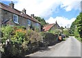
Street at Thorgill
Perhaps it would be going too far to describe this as a 'village street' as Thorgill is hardly more than a hamlet at the end of the tarmac on the west side of the dale.
Image: © Gordon Hatton
Taken: 27 Aug 2015
0.02 miles
8
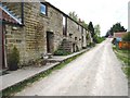
Cottages in Thorgill
This photograph shows a view of some 'terraced' cottages in Thorgill. The picture was taken looking in a north-westerly direction towards High House Farm.
Image: © Philip Barker
Taken: 16 May 2010
0.11 miles
9
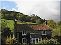
Cottage at Thorgill
Cottage at Thorgill with Gill Bank behind.
Image: © Colin Grice
Taken: 17 Oct 2004
0.12 miles
10
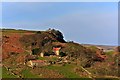
Deserted Farm, Thorgill
Despite looking as though it was occupied, the windows of this farmhouse were boarded up. The outcrop behind the farm is Gill Bank Crag.
Image: © Paul Buckingham
Taken: 25 Nov 2011
0.13 miles