
IMAGES TAKEN NEAR TO
Station Road, PICKERING, YO18 7SF
Introduction
This page details the photographs taken nearby to Station Road, YO18 7SF by members of the Geograph project.
The Geograph project started in 2005 with the aim of publishing, organising and preserving representative images for every square kilometre of Great Britain, Ireland and the Isle of Man.

There are currently over 7.5m images from over14,400 individuals and you can help contribute to the project by visiting https://www.geograph.org.uk
Image Map
Images are licensed for reuse under creativecommons.org/licenses/by-sa/2.0
Notes
- Clicking on the map will re-center to the selected point.
- The higher the marker number, the further away the image location is from the centre of the postcode.
Image Listing (46 Images Found)
Images are licensed for reuse under creativecommons.org/licenses/by-sa/2.0
Image
Details
Distance
2
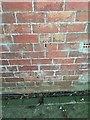
Cut Mark: Thornton-le-Dale Station
Cut bench mark on the west end of the old station, now holiday accommodation. See https://www.geograph.org.uk/photo/6224906 for a wider view and https://www.bench-marks.org.uk/bm109224 for details of the mark.
Image: © Brian Westlake
Taken: 2 Jul 2019
0.05 miles
3
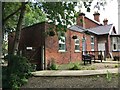
Thornton-le-Dale former station
There is a cut bench mark behind the gate on the west end of the old station, now holiday accommodation. See https://www.geograph.org.uk/photo/6224896 for a closer view and https://www.bench-marks.org.uk/bm109224 for details of the mark.
Image: © Brian Westlake
Taken: 3 Jul 2019
0.05 miles
5
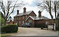
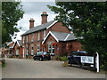
Former station at Thornton le Dale
Situated at the southern end of the village, the station was opened by the NER on May 1st 1882. It closed to passenger traffic in June 1950 and to all traffic in August 1964.
Image: © Gordon Hatton
Taken: 2 May 2021
0.07 miles
6
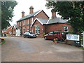
Thornton Dale railway station (site), Yorkshire
Opened in 1882 by the North Eastern Railway on the line from Pickering to Seamer, this station closed to passengers in 1950 and completely in 1964.
Forecourt.
More details can be found at http://www.disused-stations.org.uk/t/thornton_dale/index.shtml.
Image: © Nigel Thompson
Taken: 5 Aug 2009
0.07 miles
7
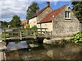
Thornton-le-Dale, cottage by a ford
There is a cut benchmark on this cottage on the north side of a ford. See https://www.geograph.org.uk/photo/6225494 for a closer view and https://www.bench-marks.org.uk/bm109225 for details of the mark.
Image: © Brian Westlake
Taken: 3 Jul 2019
0.09 miles
8
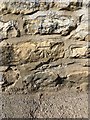
Cut Mark: Thornton-le-Dale, Heron Cottage
Cut benchmark on a cottage on the north side of a ford. A footbridge gives easy access to the side of the cottage with the mark. See https://www.geograph.org.uk/photo/6225495 for a wider view and https://www.bench-marks.org.uk/bm109225 for details of the mark.
Image: © Brian Westlake
Taken: 3 Jul 2019
0.09 miles
9
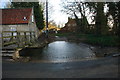
Double Ford at Thornton-le-Dale
This pair of fords is found at the end of Bottons Lane on Thornton Beck.
Image: © John Walton
Taken: 3 Jan 2014
0.09 miles
10
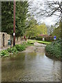
Two fords for the price of one
A double ford off Maltongate at the southern end of Thornton le Dale. Apart from potentially deep water, there's a rather nasty looking hump between the two fords, so property owners on the far side probably need a 4WD with good ground [and water] clearance.
Image: © Gordon Hatton
Taken: 2 May 2021
0.10 miles