
IMAGES TAKEN NEAR TO
Whitby Road, PICKERING, YO18 7NE
Introduction
This page details the photographs taken nearby to Whitby Road, YO18 7NE by members of the Geograph project.
The Geograph project started in 2005 with the aim of publishing, organising and preserving representative images for every square kilometre of Great Britain, Ireland and the Isle of Man.

There are currently over 7.5m images from over14,400 individuals and you can help contribute to the project by visiting https://www.geograph.org.uk
Image Map
Images are licensed for reuse under creativecommons.org/licenses/by-sa/2.0
Notes
- Clicking on the map will re-center to the selected point.
- The higher the marker number, the further away the image location is from the centre of the postcode.
Image Listing (8 Images Found)
Images are licensed for reuse under creativecommons.org/licenses/by-sa/2.0
Image
Details
Distance
1
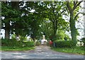
Shepherds Hill
A farm to the south of the A169. A footpath leads easterly from the driveway, accessed by the fence visible in the hedge (near the tree with the white name-board on the left).
Image: © Barbara Carr
Taken: 18 Jun 2013
0.06 miles
2
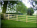
Public Footpath here from corner of field
The public footpath marked on OS maps goes ESE from the corner fence here to Pluntrain Dale Lane. There is an electric fence attached to the post and rail fence, however it does stop before the end section of fencing, making access across the rails safe. There are no markers here to indicate that this is a footpath as depicted on OS maps.
Image: © Phil Catterall
Taken: 21 Aug 2006
0.06 miles
4
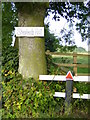
Access to public footpath at Shepherd's Hill
This picture further illustrates the end of the electric fence which is insulated around the penultimate post of the fencing, making access to the footpath over the fence safe.
Image: © Phil Catterall
Taken: 21 Aug 2006
0.06 miles
5
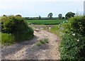
Track into farmland
To the north of the A169, near Shepherds Hill Farm.
Image: © Barbara Carr
Taken: 18 Jun 2013
0.08 miles
8
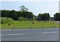
Free-range hens alongside the A169
At the northeastern edge of Pickering.
Image: © Barbara Carr
Taken: 18 Jun 2013
0.24 miles