IMAGES TAKEN NEAR TO
Blake-Howe Lane, BRIDLINGTON, YO15 1JG
Introduction
This page details the photographs taken nearby to Blake-Howe Lane, YO15 1JG by members of the Geograph project.
The Geograph project started in 2005 with the aim of publishing, organising and preserving representative images for every square kilometre of Great Britain, Ireland and the Isle of Man.

There are currently over 7.5m images from over14,400 individuals and you can help contribute to the project by visiting https://www.geograph.org.uk
Image Map
Images are licensed for reuse under creativecommons.org/licenses/by-sa/2.0
Notes
- Clicking on the map will re-center to the selected point.
- The higher the marker number, the further away the image location is from the centre of the postcode.
Image Listing (10 Images Found)
Images are licensed for reuse under creativecommons.org/licenses/by-sa/2.0
Image
Details
Distance

4
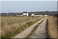
Private road to Metlands Farm
At the eastern end of Blakehowe Lane. The permissive path to the cliffs goes through the gate by the hedge.
Image: © Christine Johnstone
Taken: 19 Apr 2021
0.15 miles
5

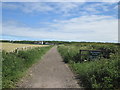
Permissive path to Bempton cliffs
Heading north along a field boundary, west of Metlands Farm.
Image: © Christine Johnstone
Taken: 19 Apr 2021
0.16 miles
6
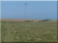
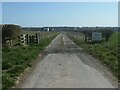
Rural power line crossing a permissive footpath
The path heads north to Bempton cliffs, just east of Wandale Farm.
Image: © Christine Johnstone
Taken: 19 Apr 2021
0.19 miles

9
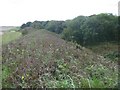
Danes' Dyke and Dykes Plantation
Danes’ Dyke consists of prehistoric earthworks, possibly intended as a defence, and woodland that runs 2½ miles across Flamborough Head. Despite its name, Danes’ Dyke had nothing to do with the Danes, and was a much earlier site - probably dating back to the Bronze Age.
Image: © Mike Bardill
Taken: 4 Sep 2007
0.22 miles