
IMAGES TAKEN NEAR TO
Wykeham, SCARBOROUGH, YO13 9QU
Introduction
This page details the photographs taken nearby to YO13 9QU by members of the Geograph project.
The Geograph project started in 2005 with the aim of publishing, organising and preserving representative images for every square kilometre of Great Britain, Ireland and the Isle of Man.

There are currently over 7.5m images from over14,400 individuals and you can help contribute to the project by visiting https://www.geograph.org.uk
Image Map
Images are licensed for reuse under creativecommons.org/licenses/by-sa/2.0
Notes
- Clicking on the map will re-center to the selected point.
- The higher the marker number, the further away the image location is from the centre of the postcode.
Image Listing (6 Images Found)
Images are licensed for reuse under creativecommons.org/licenses/by-sa/2.0
Image
Details
Distance
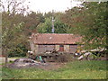
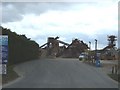
3
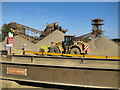
Gravel extraction
The excavations have been ongoing through this area for many years.
The area was a lake bed until relatively recent times, however the gravel beds are likely to be associated with a cataclysmic release of water from Lake Esk to the North breaking through what is now the North York Moors at Forge Valley - when the natural drainage to the North Sea was blocked by ice.
Image: © Colin Grice
Taken: 29 Sep 2013
0.08 miles
4
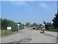
Current site of the sand and gravel plant in Charm Park
Image: © Phil Catterall
Taken: 21 Jul 2006
0.09 miles
5
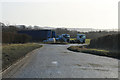
Near Wykeham Quarries
Small parking area on Long Causeway Road.
Image: © Pauline E
Taken: 24 Jan 2015
0.18 miles
6
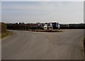
Entrance to Wykeham Quarries
Long Causeway Road swings off to the right whilst the private entrance road to the Wykeham aggregates quarries swings off to the left. Trucks employed in hauling aggregates are parked up on a Sunday
Image: © Christopher Hall
Taken: 22 Mar 2015
0.19 miles