IMAGES TAKEN NEAR TO
Hazel Grove, WOLVERHAMPTON, WV5 9EG
Introduction
This page details the photographs taken nearby to Hazel Grove, WV5 9EG by members of the Geograph project.
The Geograph project started in 2005 with the aim of publishing, organising and preserving representative images for every square kilometre of Great Britain, Ireland and the Isle of Man.

There are currently over 7.5m images from over14,400 individuals and you can help contribute to the project by visiting https://www.geograph.org.uk
Image Map
Images are licensed for reuse under creativecommons.org/licenses/by-sa/2.0
Notes
- Clicking on the map will re-center to the selected point.
- The higher the marker number, the further away the image location is from the centre of the postcode.
Image Listing (84 Images Found)
Images are licensed for reuse under creativecommons.org/licenses/by-sa/2.0
Image
Details
Distance
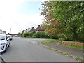
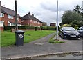
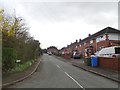
2
Bull Lane Shops
The view in Wombourne.
Image: © Gordon Griffiths
Taken: 13 May 2019
0.04 miles
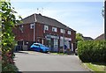
3
Hazel Grove
The view in Wombourne.
Image: © Gordon Griffiths
Taken: 17 Oct 2019
0.05 miles
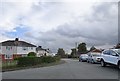
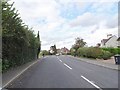
4
Hazel Grove
The view in Wombourne.
Image: © Gordon Griffiths
Taken: 13 May 2019
0.06 miles
5
Hazel Grove Alley
The view in Wombourne.
Image: © Gordon Griffiths
Taken: 17 Oct 2019
0.09 miles
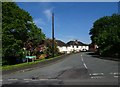
6
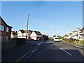
Mount Road Junction
The view from Station Road in Wombourne.
Image: © Gordon Griffiths
Taken: 8 Dec 2019
0.09 miles
7
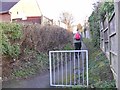
Bull Lane Path
The view of the footpath in Wombourne, Staffordshire.
Image: © Gordon Griffiths
Taken: 17 Feb 2017
0.09 miles
8
Meadow Lane View
The view along the Lane in Wombourne.
Image: © Gordon Griffiths
Taken: 14 Mar 2019
0.10 miles
9
Lear Road Scene
The view along the road in Wombourne.
Image: © Gordon Griffiths
Taken: 14 Mar 2019
0.10 miles
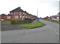
10
Station Road Junction
The view in Wombourne.
Image: © Gordon Griffiths
Taken: 17 Oct 2019
0.10 miles