IMAGES TAKEN NEAR TO
Dawson Square, BILSTON, WV14 0HW
Introduction
This page details the photographs taken nearby to Dawson Square, WV14 0HW by members of the Geograph project.
The Geograph project started in 2005 with the aim of publishing, organising and preserving representative images for every square kilometre of Great Britain, Ireland and the Isle of Man.

There are currently over 7.5m images from over14,400 individuals and you can help contribute to the project by visiting https://www.geograph.org.uk
Image Map
Images are licensed for reuse under creativecommons.org/licenses/by-sa/2.0
Notes
- Clicking on the map will re-center to the selected point.
- The higher the marker number, the further away the image location is from the centre of the postcode.
Image Listing (199 Images Found)
Images are licensed for reuse under creativecommons.org/licenses/by-sa/2.0
Image
Details
Distance
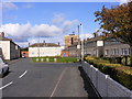
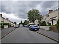
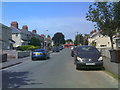
2
Park Road Scene
The view in Bilston, West Midlands.
Image: © Gordon Griffiths
Taken: 7 Jun 2018
0.04 miles
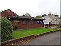
4
Bilston Pentecostal Church
A Christian Centre in Wolverhampton Street.
Image: © Gordon Griffiths
Taken: 30 Sep 2008
0.04 miles
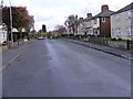
5
Mill Street Scene
The view in Bilston, West Midlands.
Image: © Gordon Griffiths
Taken: 7 Jun 2018
0.04 miles
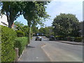
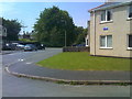
6
Park Road View
The view on the Millfields Estate, in Bilston, West Midlands.
Image: © Gordon Griffiths
Taken: 12 Aug 2019
0.05 miles
7
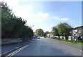
Mill Street
The view of the Bilston Street.
Image: © Gordon Griffiths
Taken: 15 Sep 2021
0.05 miles
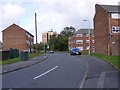
9
Bagnall Road View
The view in Bilston, West Midlands.
Image: © Gordon Griffiths
Taken: 7 Jun 2018
0.06 miles
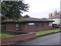
10
Excel Church
The view of the Bilston Pentecostal Church, a Christian Centre in Wolverhampton Street.
Image: © Gordon Griffiths
Taken: 8 Nov 2021
0.06 miles