
IMAGES TAKEN NEAR TO
Malt House Lane, WOLVERHAMPTON, WV10 7DD
Introduction
This page details the photographs taken nearby to Malt House Lane, WV10 7DD by members of the Geograph project.
The Geograph project started in 2005 with the aim of publishing, organising and preserving representative images for every square kilometre of Great Britain, Ireland and the Isle of Man.

There are currently over 7.5m images from over14,400 individuals and you can help contribute to the project by visiting https://www.geograph.org.uk
Image Map
Images are licensed for reuse under creativecommons.org/licenses/by-sa/2.0
Notes
- Clicking on the map will re-center to the selected point.
- The higher the marker number, the further away the image location is from the centre of the postcode.
Image Listing (22 Images Found)
Images are licensed for reuse under creativecommons.org/licenses/by-sa/2.0
Image
Details
Distance
1
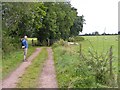
Counting Sheep
The view from a track near Shareshill, Staffordshire.
Image: © Gordon Griffiths
Taken: 31 Aug 2012
0.07 miles
2
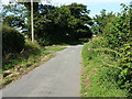
Minor junction on Malthouse Lane
Two 'legs' of Malthouse Lane, both running from Latherford Lane to the west, join here and continue towards Four Crosses.
Image: © Richard Law
Taken: 21 Jul 2014
0.09 miles
3
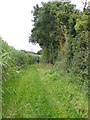
Tall Crop
The view of the 10 feet tall bamboo like crop alongside the path near Four Crosses, staffordshire.
Image: © Gordon Griffiths
Taken: 31 Aug 2012
0.15 miles
5
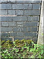
OS benchmark - Calf Heath, Goldie Brook Bridge
An OS cutmark on the parapet of Goldie Brook Bridge; originally levelled at 103.141m above Ordnance Datum Newlyn.
Image: © Richard Law
Taken: 21 Jul 2014
0.20 miles
6
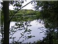
Fishing Lake
The view from a path near Shareshill, Staffordshire.
Image: © Gordon Griffiths
Taken: 31 Aug 2012
0.20 miles
7
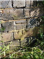
OS benchmark - Calf Heath, Queens Road bridge
An OS cutmark on the parapet of a bridge over a small stream on the south side of Queens Road; originally levelled at 106.458m above Ordnance Datum Newlyn.
Image: © Richard Law
Taken: 21 Jul 2014
0.20 miles
8
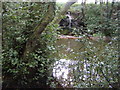
Pool Overflow
The view from the footpath near Shareshill, Staffordshire.
Image: © Gordon Griffiths
Taken: 31 Aug 2012
0.21 miles
9
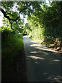
Latherford Lane south of Calf Heath
Evening sunshine on a narrow country lane south of Calf Heath.
Image: © Richard Law
Taken: 21 Jul 2014
0.22 miles
10
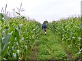
Crop Pathway
The view south west near the M6 motorway by Four Crosses, Staffordshire.
Image: © Gordon Griffiths
Taken: 31 Aug 2012
0.23 miles