
IMAGES TAKEN NEAR TO
Greaves Close, WALSALL, WS5 3QT
Introduction
This page details the photographs taken nearby to Greaves Close, WS5 3QT by members of the Geograph project.
The Geograph project started in 2005 with the aim of publishing, organising and preserving representative images for every square kilometre of Great Britain, Ireland and the Isle of Man.

There are currently over 7.5m images from over14,400 individuals and you can help contribute to the project by visiting https://www.geograph.org.uk
Image Map
Images are licensed for reuse under creativecommons.org/licenses/by-sa/2.0
Notes
- Clicking on the map will re-center to the selected point.
- The higher the marker number, the further away the image location is from the centre of the postcode.
Image Listing (12 Images Found)
Images are licensed for reuse under creativecommons.org/licenses/by-sa/2.0
Image
Details
Distance
1
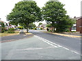
Greaves Avenue, Daisy Bank
Early 1970s housing on the outskirts of Walsall.
Image: © Richard Law
Taken: 18 Jul 2018
0.10 miles
3
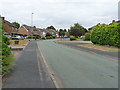
Gloucester Road, Walsall
Closely packed 1970s housing on an estate on the east side of Walsall.
Image: © Richard Law
Taken: 18 Jul 2018
0.16 miles
5
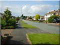
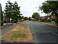
Norman Road
The 'burbs - Typical, pleasant mixed houses of middle England
Image: © John Chorley
Taken: 2 Sep 2007
0.18 miles
6
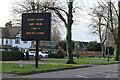
Nanny knows best!
This out of place, intrusive nanny state sign, is a blot on the landscape of the Sutton Road, Walsall.
Image: © Derek Bennett
Taken: 25 Dec 2020
0.20 miles
7
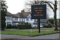
Obey nanny
This ugly nanny state sign is out of place in the suburban part of the Sutton Road, Walsall.
Image: © Derek Bennett
Taken: 25 Dec 2020
0.20 miles
8
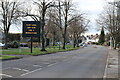
Nanny dictates
An obtrusive nanny state sign blighting the Sutton Road, Walsall.
Image: © Derek Bennett
Taken: 25 Dec 2020
0.20 miles
9
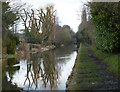
Towpath along the Rushall Canal in Walsall
Image: © Mat Fascione
Taken: 1 Apr 2018
0.24 miles
10
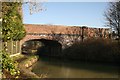
Gillity Bridge
This old bridge is for pedestrians only going from Norman Road into the field off Woodend Road.
Image: © Derek Bennett
Taken: 17 Feb 2008
0.24 miles