IMAGES TAKEN NEAR TO
Springvale Avenue, WALSALL, WS5 3QB
Introduction
This page details the photographs taken nearby to Springvale Avenue, WS5 3QB by members of the Geograph project.
The Geograph project started in 2005 with the aim of publishing, organising and preserving representative images for every square kilometre of Great Britain, Ireland and the Isle of Man.

There are currently over 7.5m images from over14,400 individuals and you can help contribute to the project by visiting https://www.geograph.org.uk
Image Map
Images are licensed for reuse under creativecommons.org/licenses/by-sa/2.0
Notes
- Clicking on the map will re-center to the selected point.
- The higher the marker number, the further away the image location is from the centre of the postcode.
Image Listing (24 Images Found)
Images are licensed for reuse under creativecommons.org/licenses/by-sa/2.0
Image
Details
Distance
3
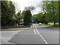
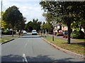
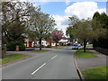
Walsall - Park Hall Road at Springvale Avenue
Image: © Peter Whatley
Taken: 11 May 2010
0.06 miles
4
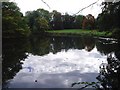
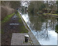
Lake in the middle of a Walsall housing estate
My local informant didn't know the name of this lake, located next to Barry Road. A Google suggests that it may be called Park Hall Lake.
Image: © David Gruar
Taken: 23 Oct 2005
0.07 miles
5
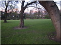
Line of trees
A line of trees looking towards Park Hall lake.
Image: © Derek Bennett
Taken: 11 Apr 2012
0.08 miles
7
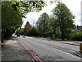
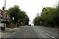
Walsall - Birmingham Road
The road edge markings indicate that this is a "red route clearway" with no stopping allowed for any reason. The requirement is derived from the roads de facto status as a relief road for the M6 motorway, a reversion to the route's historic role as the prime north-south route (A34) between Manchester and Southampton. Most regular M6/M5 users will be familiar with the "Walsall Shuffle" as traffic inches through the town at times of motorway overload.
Image: © Peter Whatley
Taken: 11 May 2010
0.13 miles
8

Lake behind the trees
Park Hall lake is just visible through the trees which are in full spring leaf.
Image: © Derek Bennett
Taken: 5 May 2020
0.13 miles