
IMAGES TAKEN NEAR TO
Baker Way, LICHFIELD, WS14 9GA
Introduction
This page details the photographs taken nearby to Baker Way, WS14 9GA by members of the Geograph project.
The Geograph project started in 2005 with the aim of publishing, organising and preserving representative images for every square kilometre of Great Britain, Ireland and the Isle of Man.

There are currently over 7.5m images from over14,400 individuals and you can help contribute to the project by visiting https://www.geograph.org.uk
Image Map
Images are licensed for reuse under creativecommons.org/licenses/by-sa/2.0
Notes
- Clicking on the map will re-center to the selected point.
- The higher the marker number, the further away the image location is from the centre of the postcode.
Image Listing (7 Images Found)
Images are licensed for reuse under creativecommons.org/licenses/by-sa/2.0
Image
Details
Distance
1
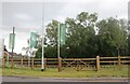
New developments on the Lichfield Southern By-Pass
The road and associated St John's Grange development are not yet visible on Google. https://www.persimmonhomes.com/new-homes/west-midlands/st-john-s-grange
Image: © David Howard
Taken: 19 Jun 2022
0.13 miles
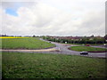
3
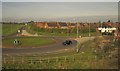
Roundabout, Sandfields
The A5127 Birmingham Road south of Lichfield meets the A461 (Falkland Road, ahead left). Falkland Road skirts edge of the built-up area around the city. View from the railway line heading south from Lichfield City towards Birmingham.
Image: © Derek Harper
Taken: 6 Apr 2012
0.21 miles
5
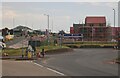
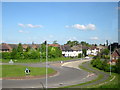
Roundabout on Birmingham Road, Lichfield
The new Friary Meadows estate is currently under construction.
Image: © David Howard
Taken: 19 Jun 2022
0.22 miles
7
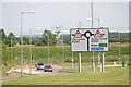
Traffic sign located, along Lichfield Southern Bypass
The above photograph shows a Close up view of the sign seen in the distance, in this photograph Image
Image: © Chris' Buet
Taken: 21 Jun 2010
0.23 miles