
IMAGES TAKEN NEAR TO
Bescot Industrial Estate, Woden Road West, WEDNESBURY, WS10 7SG
Introduction
This page details the photographs taken nearby to Bescot Industrial Estate, Woden Road West, WS10 7SG by members of the Geograph project.
The Geograph project started in 2005 with the aim of publishing, organising and preserving representative images for every square kilometre of Great Britain, Ireland and the Isle of Man.

There are currently over 7.5m images from over14,400 individuals and you can help contribute to the project by visiting https://www.geograph.org.uk
Image Map
Images are licensed for reuse under creativecommons.org/licenses/by-sa/2.0
Notes
- Clicking on the map will re-center to the selected point.
- The higher the marker number, the further away the image location is from the centre of the postcode.
Image Listing (13 Images Found)
Images are licensed for reuse under creativecommons.org/licenses/by-sa/2.0
Image
Details
Distance
1
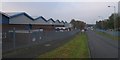
Woden Road Industrial Estate
Industrial units on the former Old Park Iron Works site.
Image: © John M
Taken: 7 Nov 2006
0.06 miles
2
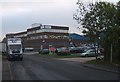
Offices in Woden Road West
These offices for a furniture company are on the former Old Park Iron Works site.
Image: © John M
Taken: 7 Nov 2006
0.11 miles
3
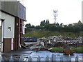
Derelict industrial building near Darlaston
Another one taken from the cab of my lorry while I was waiting to unload. This shows the last remnants of an industrial unit on the Woden Road industrial estate. It's now been replaced with two shiny new units. I don't know what this building was or when it was built, but looking at the brickwork it really doesn't look all that old.
Image: © John Winder
Taken: 26 Jul 2007
0.16 miles
4

Petrol station at the Patent Shaft roundabout
Image: © Peter Whatley
Taken: 22 Oct 2008
0.17 miles
5
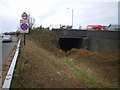
Disused railway bridge in the middle of the A41
Photographing this one involved a certain amount of traffic-dodging. The former line here formed part of the Darlaston Loop, and ran southeast towards the scene of Image
Image: © Richard Law
Taken: 4 Dec 2009
0.18 miles
6
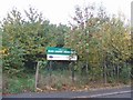
Black Country Urban Forest
The Black Country Urban Forest is a collective name for this initiative to green up the urban landscape by planting trees on small areas of former industrial wasteland.
Image: © John M
Taken: 7 Nov 2006
0.18 miles
7
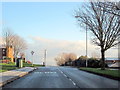
Woden Road West Approaching Darlaston Road Wednesbury
Image: © Roy Hughes
Taken: 17 Dec 2011
0.20 miles
8
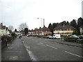
Dangerfield Lane, Darlaston
Between Woden Road West and Banfield Road.
Image: © Richard Vince
Taken: 27 Dec 2017
0.20 miles
9

Patent Shaft roundabout - Holyhead Road approach
My favourite location name by miles so far.
Image: © Peter Whatley
Taken: 22 Oct 2008
0.22 miles
10
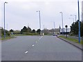
Patent Drive
A Road off the Black Country New Road, Wednesbury.
Image: © Gordon Griffiths
Taken: 13 Apr 2009
0.22 miles