
IMAGES TAKEN NEAR TO
Walnut Lane, WEDNESBURY, WS10 0BH
Introduction
This page details the photographs taken nearby to Walnut Lane, WS10 0BH by members of the Geograph project.
The Geograph project started in 2005 with the aim of publishing, organising and preserving representative images for every square kilometre of Great Britain, Ireland and the Isle of Man.

There are currently over 7.5m images from over14,400 individuals and you can help contribute to the project by visiting https://www.geograph.org.uk
Image Map
Images are licensed for reuse under creativecommons.org/licenses/by-sa/2.0
Notes
- Clicking on the map will re-center to the selected point.
- The higher the marker number, the further away the image location is from the centre of the postcode.
Image Listing (10 Images Found)
Images are licensed for reuse under creativecommons.org/licenses/by-sa/2.0
Image
Details
Distance
1
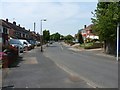
Chestnut Road on the Mesty Croft housing estate
Image: © Richard Law
Taken: 26 Jul 2012
0.05 miles
2
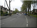
Hydes Road, Mesty Croft (1)
Looking towards Hateley Heath from the junction with Paul Street.
Image: © Richard Vince
Taken: 29 May 2021
0.07 miles
3
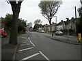
Hydes Road, Mesty Croft (2)
Looking towards Wednesbury town centre from the junction with Paul Street.
Image: © Richard Vince
Taken: 29 May 2021
0.07 miles
4
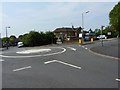
The Croft public house
At the mini roundabout where Chestnut Road crosses Hyde Road. And, yes, there is that much of a hill here - the slope from right to left is correct.
Image: © Richard Law
Taken: 26 Jul 2012
0.08 miles
5
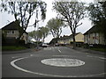
South end of Paul Street, Mesty Croft
Seen from its junction with Hydes Road, which is provided with a mini roundabout which appears to have been driven over quite a lot.
Image: © Richard Vince
Taken: 29 May 2021
0.08 miles
6
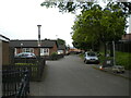
Service road off Hydes Road, Mesty Croft
Providing access to housing numbered as part of St Luke's Road, which is at the other end of the footpath visible at the end of the service road.
Image: © Richard Vince
Taken: 29 May 2021
0.13 miles
7
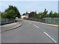
Ridding Lane crosses the railway
At the southern end of Ridding Lane, the bridge carries the road across the former South Staffs Railway line between Dudley and Walsall. The line opened in 1850, and closed to passengers in the 1960s and then to goods in 1993.
Image: © Richard Law
Taken: 26 Jul 2012
0.18 miles
8
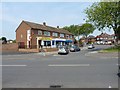
Shops on Woden Road South
A small parade of shops opposite the play area at Hydes Bridge.
Image: © Richard Law
Taken: 26 Jul 2012
0.20 miles
9
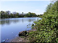
Hydes Pool
A Pool off Woden Road South next to the River Tame.
Image: © Gordon Griffiths
Taken: 21 Apr 2009
0.22 miles
10
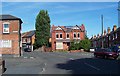
Oakeswell, Wednesbury
A nice old part of town. Sometimes spelled Oakswell.
Image: © Adrian Bailey
Taken: 21 Aug 2005
0.23 miles