
IMAGES TAKEN NEAR TO
Bala Way, WORCESTER, WR5 3UF
Introduction
This page details the photographs taken nearby to Bala Way, WR5 3UF by members of the Geograph project.
The Geograph project started in 2005 with the aim of publishing, organising and preserving representative images for every square kilometre of Great Britain, Ireland and the Isle of Man.

There are currently over 7.5m images from over14,400 individuals and you can help contribute to the project by visiting https://www.geograph.org.uk
Image Map
Images are licensed for reuse under creativecommons.org/licenses/by-sa/2.0
Notes
- Clicking on the map will re-center to the selected point.
- The higher the marker number, the further away the image location is from the centre of the postcode.
Image Listing (70 Images Found)
Images are licensed for reuse under creativecommons.org/licenses/by-sa/2.0
Image
Details
Distance
1
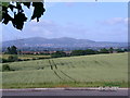
The Malverns seen from the roundabout beside the Blind college
A typical misty view of these famous hills
Image: © Andrew Darge
Taken: 3 Jul 2005
0.03 miles
2
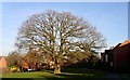
Preserved oak now lost
The planners did make an effort to retain a good number of specimen oaks on the new development of the St Peter's estate; this is one of the best of them.
Sadly this tree suffered a catastrophic failure when almost half blew down in a gale; it was hollow and declared unsafe, thus had to be felled. A sapling oak has been planted to replace it.
Image: © Andrew Darge
Taken: 7 Dec 2008
0.06 miles
3
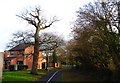
Bridleway soon to be revived
This long suffering oak must have stood beside the right of way shown on an old OS map as running from the bath road to Norton before the railway was built.
Image: © Andrew Darge
Taken: 29 Dec 2018
0.07 miles
4
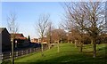
St Peter's Drive
The feeder road for the estate runs from the roundabout on the A4440 round past Tesco to join the Bath Road by the Timberdine pub.
Image: © Andrew Darge
Taken: 7 Dec 2008
0.09 miles
5
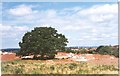
Preserved Oak before the houses came
Impossible to recreate this picture now unless I intrude on someone's property but good to know that the planning worked and this tree lives on despite having lost its view north over Worcester.
Image: © Andrew Darge
Taken: 29 Jun 1997
0.10 miles
6
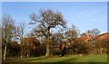
Old oak
A preserved oak on the St Peter's estate that has required some surgery but is still good to see amongst all the new houses.
Image: © Andrew Darge
Taken: 7 Dec 2008
0.10 miles
7
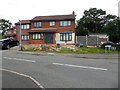
Farne Avenue, St Peter the Great, Worcester
A large modern housing development just inside the Worcester bypass.
Image: © Chris Allen
Taken: 9 Aug 2021
0.10 miles
8
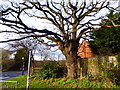
Old oak
Another venerable oak that once would have stood beside the right of way from the Bath road to Norton preserved in the St Peters development but obliterated by the A4440. Now due to be reinstated by the installation of a bridleway bridge.
Image: © Andrew Darge
Taken: 29 Dec 2018
0.11 miles
9
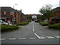
Bicton Avenue, St Peter the Great, Worcester
Seen from the junction with St Peter's Drive in this large modern development.
Image: © Chris Allen
Taken: 9 Aug 2021
0.11 miles
10
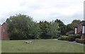
The stump of the felled oak
All that remains of the oak that shaped this bit of St Peters estate, with the new sapling in the background.
Image: © Andrew Darge
Taken: 14 Sep 2018
0.12 miles