
IMAGES TAKEN NEAR TO
Belmont Street, WORCESTER, WR3 8NN
Introduction
This page details the photographs taken nearby to Belmont Street, WR3 8NN by members of the Geograph project.
The Geograph project started in 2005 with the aim of publishing, organising and preserving representative images for every square kilometre of Great Britain, Ireland and the Isle of Man.

There are currently over 7.5m images from over14,400 individuals and you can help contribute to the project by visiting https://www.geograph.org.uk
Image Map
Images are licensed for reuse under creativecommons.org/licenses/by-sa/2.0
Notes
- Clicking on the map will re-center to the selected point.
- The higher the marker number, the further away the image location is from the centre of the postcode.
Image Listing (65 Images Found)
Images are licensed for reuse under creativecommons.org/licenses/by-sa/2.0
Image
Details
Distance
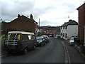
3
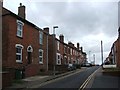
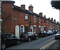
Mayfield Road, Worcester
Seen from Rainbow Hill
Image: © Chris Allen
Taken: 3 Nov 2021
0.05 miles
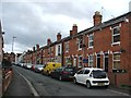
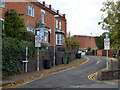
8
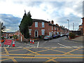
Road junction on Rainbow Hill, Worcester
Rainbow Hill is the main road from left to right. Opposite the photographer are Lansdowne Road on the left and Belmont Street on the right. These contain older housing stock.
Image: © Chris Allen
Taken: 3 Nov 2021
0.07 miles
9
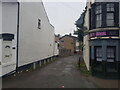
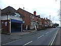
Access to garages off Rainbow Hill, Worcester
Image: © Jeff Gogarty
Taken: 24 Aug 2022
0.08 miles
10
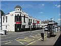
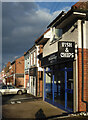
37 Astwood Road, Worcester
Formerly the Vauxhall Inn. Built c1897.
Now an Indian restaurant, Balti Mahal.
Image: © Stephen Richards
Taken: 17 Jul 2014
0.08 miles