
IMAGES TAKEN NEAR TO
Rainbow Hill, WORCESTER, WR3 8NF
Introduction
This page details the photographs taken nearby to Rainbow Hill, WR3 8NF by members of the Geograph project.
The Geograph project started in 2005 with the aim of publishing, organising and preserving representative images for every square kilometre of Great Britain, Ireland and the Isle of Man.

There are currently over 7.5m images from over14,400 individuals and you can help contribute to the project by visiting https://www.geograph.org.uk
Image Map
Images are licensed for reuse under creativecommons.org/licenses/by-sa/2.0
Notes
- Clicking on the map will re-center to the selected point.
- The higher the marker number, the further away the image location is from the centre of the postcode.
Image Listing (111 Images Found)
Images are licensed for reuse under creativecommons.org/licenses/by-sa/2.0
Image
Details
Distance
1
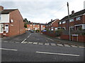
Dutton Street, Worcester
Seen from Rainbow Hill. Wilson Street is seen at the end of Dutton Street.
Image: © Chris Allen
Taken: 3 Nov 2021
0.02 miles
3
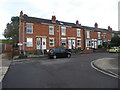
Wilson Street, Worcester
Older housing stock seen from Dutton Street.
Image: © Chris Allen
Taken: 3 Nov 2021
0.05 miles
4

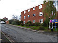
Elgar Court
Apartments built on the site of Sir Edward Elgar's last home 'Marl Bank' which was demolished in 1969.
Image: © Philip Halling
Taken: 20 Aug 2025
0.05 miles
6
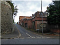
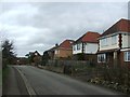
Reservoir Lane, Worcester
Seen from Rainbow Hill. The buildings on the right are a row of listed houses on Rainbow Hill Terrace.
Image: © Chris Allen
Taken: 3 Nov 2021
0.06 miles
7
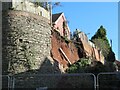
Collapsed wall, Reservoir Lane, Worcester
This was causing a partial closure of Rainbow Hill too.
Image: © Chris Allen
Taken: 12 Feb 2024
0.06 miles
8

Collapsed wall
Collapsed wall on Reservoir Lane off Rainbow Hill in Worcester. This is not a recent event and has been previously photographed by Chris Allen Image
Image: © Philip Halling
Taken: 20 Aug 2025
0.06 miles
10
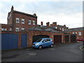
The rear of Rainbow Hill Terrace, Worcester
Rainbow Hill Terrace is 10 contiguous Grade II Listed properties built c1830-50. The frontages are in white stucco but I have yet to find a viewpoint. This view extends from 9A on the extreme left to the roof of No. 1 at the right above the rearwards extension of No. 5.
Image: © Chris Allen
Taken: 3 Nov 2021
0.07 miles