
IMAGES TAKEN NEAR TO
Longfellow Road, WORCESTER, WR3 8DH
Introduction
This page details the photographs taken nearby to Longfellow Road, WR3 8DH by members of the Geograph project.
The Geograph project started in 2005 with the aim of publishing, organising and preserving representative images for every square kilometre of Great Britain, Ireland and the Isle of Man.

There are currently over 7.5m images from over14,400 individuals and you can help contribute to the project by visiting https://www.geograph.org.uk
Image Map
Images are licensed for reuse under creativecommons.org/licenses/by-sa/2.0
Notes
- Clicking on the map will re-center to the selected point.
- The higher the marker number, the further away the image location is from the centre of the postcode.
Image Listing (70 Images Found)
Images are licensed for reuse under creativecommons.org/licenses/by-sa/2.0
Image
Details
Distance
1
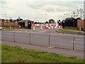
New Re-cycling Unit, Bilford Road.
This re-cycling unit is a replacement to the original waste tip that used to be on the same site. It has been open only a few months.
Image: © Derek Bradley
Taken: 21 Jul 2007
0.07 miles
2
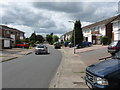
Eliot Road
Yes, it's a "poet themed" housing estate. Masefield, Kipling and Coleridge also feature.
Image: © Peter Whatley
Taken: 23 Jun 2008
0.08 miles
3
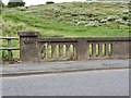
Bridge, Bilford Road, Worcester
This bridge is located on Bilford Road, Worcester and spans Barbourne Brook. There is also an Ordnance Survey bench mark located on the bridge.
Image: © V1ncenze
Taken: 16 Jul 2020
0.08 miles
4

Ordnance Survey Bench mark
This mark is located on a bridge in Bilford Road, Worcester. These marks were used by Ordnance survey for mapping purposes.
Image: © V1ncenze
Taken: 16 Jul 2020
0.08 miles
5
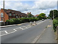
Straight ahead
The B4482 on the way to Perdiswell and the A38.
Image: © Peter Whatley
Taken: 23 Jun 2008
0.09 miles
6
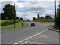
Around the bend
The B4482 en route to Blackpole.
Image: © Peter Whatley
Taken: 23 Jun 2008
0.09 miles
7

Ordnance Survey Rivet
Rivet and arrow located on Birmingham to Worcester canal bank very near to bridge number 14. These rivets and marks were used by Ordnance Survey for mapping purposes.
Image: © V1ncenze
Taken: 23 Jan 2020
0.10 miles
8

Canal Bridge, Worcester
This is bridge number 14 located on the Worcester to Birmingham canal.
Image: © V1ncenze
Taken: 23 Jan 2020
0.10 miles
9
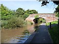
Bridge 14, from the west
The Worcester and Birmingham Canal's towpath is also the route of the Monarch's Way [from Blackpole to Diglis].
Image: © Christine Johnstone
Taken: 6 Sep 2012
0.10 miles
10

Bridge 14, Worcester and Birmingham Canal
Looking north towards Bilford Locks.
Image: © Pierre Terre
Taken: 15 May 2009
0.10 miles