
IMAGES TAKEN NEAR TO
Blanquettes Avenue, WORCESTER, WR3 8DG
Introduction
This page details the photographs taken nearby to Blanquettes Avenue, WR3 8DG by members of the Geograph project.
The Geograph project started in 2005 with the aim of publishing, organising and preserving representative images for every square kilometre of Great Britain, Ireland and the Isle of Man.

There are currently over 7.5m images from over14,400 individuals and you can help contribute to the project by visiting https://www.geograph.org.uk
Image Map
Images are licensed for reuse under creativecommons.org/licenses/by-sa/2.0
Notes
- Clicking on the map will re-center to the selected point.
- The higher the marker number, the further away the image location is from the centre of the postcode.
Image Listing (59 Images Found)
Images are licensed for reuse under creativecommons.org/licenses/by-sa/2.0
Image
Details
Distance
1
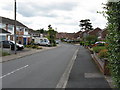
Longfellow Road
Yes, it's a "poet themed" housing estate. Masefield, Eliot, Kipling and Coleridge also feature.
Image: © Peter Whatley
Taken: 23 Jun 2008
0.05 miles
2
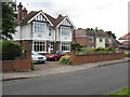
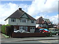
Beech Avenue
The houses along Beech Avenue are architectural gems from the inter-war era. That on the left is prominently named Ibadan and dated 1929.
Image: © Peter Whatley
Taken: 23 Jun 2008
0.09 miles
3
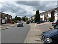
Eliot Road
Yes, it's a "poet themed" housing estate. Masefield, Kipling and Coleridge also feature.
Image: © Peter Whatley
Taken: 23 Jun 2008
0.11 miles
4
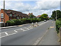
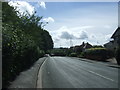
Straight ahead
The B4482 on the way to Perdiswell and the A38.
Image: © Peter Whatley
Taken: 23 Jun 2008
0.12 miles
7
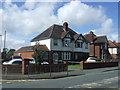
Houses on Bilford Road, Worcester
Showing position of Postbox No. WR3 133.
See Image] for postbox.
Image: © JThomas
Taken: 22 Jul 2017
0.15 miles
8
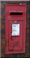
Elizabeth II postbox on Bilford Road, Worcester
Postbox No. WR3 133.
See Image] for context.
Image: © JThomas
Taken: 22 Jul 2017
0.16 miles
9
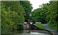
Gregory's Mill Top Lock near Barbourne, Worcester
Gregory's Mill Top Lock is No 6 on the Worcester and Birmingham Canal. Its companion lock is about two hundred metres south-west (behind the camera). Each lock provides a rise of seven feet (2·1 metres)
Image: © Roger D Kidd
Taken: 21 Aug 2010
0.16 miles
10
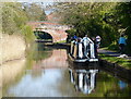
Narrowboat along the Worcester and Birmingham Canal
Astwood Cemetery Bridge No 14 in the distance.
Image: © Mat Fascione
Taken: 19 Apr 2021
0.17 miles