
IMAGES TAKEN NEAR TO
Chacewater Crescent, WORCESTER, WR3 7AN
Introduction
This page details the photographs taken nearby to Chacewater Crescent, WR3 7AN by members of the Geograph project.
The Geograph project started in 2005 with the aim of publishing, organising and preserving representative images for every square kilometre of Great Britain, Ireland and the Isle of Man.

There are currently over 7.5m images from over14,400 individuals and you can help contribute to the project by visiting https://www.geograph.org.uk
Image Map
Images are licensed for reuse under creativecommons.org/licenses/by-sa/2.0
Notes
- Clicking on the map will re-center to the selected point.
- The higher the marker number, the further away the image location is from the centre of the postcode.
Image Listing (64 Images Found)
Images are licensed for reuse under creativecommons.org/licenses/by-sa/2.0
Image
Details
Distance
1
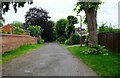
Chacewater Avenue, Worcester
The road is heading for its junction with Park View Terrace.
Image: © P L Chadwick
Taken: 5 Jul 2021
0.06 miles
2
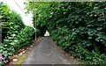
Chacewater Avenue, Worcester
The road links Redcliffe Street and Park View Terrace.
Image: © P L Chadwick
Taken: 5 Jul 2021
0.09 miles
3
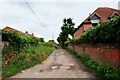
Newey's Hill, Worcester
This lane with a rather rough looking surface is known as Newey's Hill. Further on it gives access to modern housing and appears to have a better surface.
Image: © P L Chadwick
Taken: 5 Jul 2021
0.09 miles
4
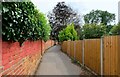
Lane from Newy's Hill to Park View Terrace, Worcester
There is a public right of way along here. The lane is used by cyclists as well as pedestrians.
Image: © P L Chadwick
Taken: 5 Jul 2021
0.10 miles
5
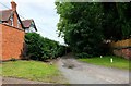
Chacewater Avenue, Worcester
This road in the backwaters of the city's Barbourne area links Park View Terrace with Redcliffe Street. Photographed from the junction with Park View Terrace.
Image: © P L Chadwick
Taken: 5 Jul 2021
0.10 miles
6

Fingerpost at end of Park View Terrace, Worcester
The left finger points in the direction of Pitchcroft, where Worcester Racecourse is located, and Worcester Bridge. The right finger points to Riverside Walk and Northwick. These are reached by a lane which starts to the right of the fingerpost.
Image: © P L Chadwick
Taken: 5 Jul 2021
0.11 miles
7
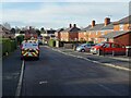
Sabrina Avenue
Sabrina Avenue in the Barbourne area of Worcester.
Image: © Philip Halling
Taken: 8 Dec 2020
0.11 miles
8
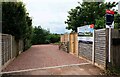
Entrance to small housing development, Newey's Hill, Worcester
At the end of Newey's Hill is a small housing development of two bungalows, with views over the River Severn.
Image: © P L Chadwick
Taken: 5 Jul 2021
0.11 miles
9
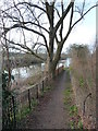
The River Severn near Northwick
This is a path that branches off the path to Northwick and hugs the east bank of the river. It is not in the best of condition and lack of time precluded further exploration.
Image: © Chris Allen
Taken: 26 Feb 2012
0.12 miles
10
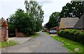
Park View Terrace, Worcester
A residential road in the Barbourne area of Worcester.
Image: © P L Chadwick
Taken: 5 Jul 2021
0.12 miles