
IMAGES TAKEN NEAR TO
Old Hopyard Close, WORCESTER, WR2 6NA
Introduction
This page details the photographs taken nearby to Old Hopyard Close, WR2 6NA by members of the Geograph project.
The Geograph project started in 2005 with the aim of publishing, organising and preserving representative images for every square kilometre of Great Britain, Ireland and the Isle of Man.

There are currently over 7.5m images from over14,400 individuals and you can help contribute to the project by visiting https://www.geograph.org.uk
Image Map
Images are licensed for reuse under creativecommons.org/licenses/by-sa/2.0
Notes
- Clicking on the map will re-center to the selected point.
- The higher the marker number, the further away the image location is from the centre of the postcode.
Image Listing (11 Images Found)
Images are licensed for reuse under creativecommons.org/licenses/by-sa/2.0
Image
Details
Distance
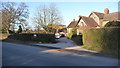
2
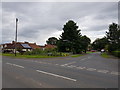
Heath Close joins the A443, Hallow, Worcestershire
Image: © Jeff Gogarty
Taken: 13 Jul 2020
0.08 miles
3
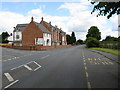
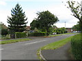
Hallow - new housing
At the junction for Sinton Green and very handy for the bus stop.
Image: © Peter Whatley
Taken: 19 Jun 2008
0.09 miles
6
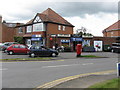
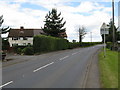
Hallow post office
Hallow's premier retail establishment - a good, old-fashioned corner shop.
Image: © Peter Whatley
Taken: 19 Jun 2008
0.14 miles
7
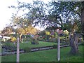
Hallow Heath
Beautiful Gardens in this small housing estate in Hallow Heath - just north of the main part of the village of Hallow
Image: © Bob Embleton
Taken: 12 Nov 2005
0.17 miles
8
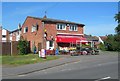
Ladygo Stores
An attractive corner shop on the A443 in Hallow.
Image: © Mary and Angus Hogg
Taken: 9 Jun 2008
0.17 miles
9
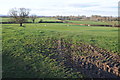
Farmland near Heath Farm
Farmland near Heath Farm to the north of Hallow.
Image: © Philip Halling
Taken: 25 Feb 2012
0.18 miles
10

Farmland at Moseley
The same view as five years ago. Image]
Image: © Philip Halling
Taken: 7 Mar 2017
0.20 miles