
IMAGES TAKEN NEAR TO
Drake Avenue, WORCESTER, WR2 5RR
Introduction
This page details the photographs taken nearby to Drake Avenue, WR2 5RR by members of the Geograph project.
The Geograph project started in 2005 with the aim of publishing, organising and preserving representative images for every square kilometre of Great Britain, Ireland and the Isle of Man.

There are currently over 7.5m images from over14,400 individuals and you can help contribute to the project by visiting https://www.geograph.org.uk
Image Map
Images are licensed for reuse under creativecommons.org/licenses/by-sa/2.0
Notes
- Clicking on the map will re-center to the selected point.
- The higher the marker number, the further away the image location is from the centre of the postcode.
Image Listing (24 Images Found)
Images are licensed for reuse under creativecommons.org/licenses/by-sa/2.0
Image
Details
Distance
1
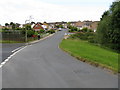
Penhill Crescent
At the junction with Sanctuary Close, looking down to the Laugherne Brook bridge.
Image: © Peter Whatley
Taken: 19 Jun 2008
0.10 miles
3
Laugherne Brook
A picture of the brook taken for my home education project about Image
Image: © Charlie Hales
Taken: 8 Dec 2014
0.17 miles
5
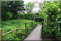
Footbridge over Laughern Brook, St. John's, Worcester
Looking in the direction of the centre of St. John's (which is a long walk from here).
Image
Image: © P L Chadwick
Taken: 2 Jun 2018
0.19 miles
6
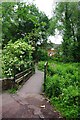
Footbridge over Laughern Brook, St. John's, Worcester
The footbridge carries a public footpath to Dines Green via Greenacres Road.
Image
Image: © P L Chadwick
Taken: 2 Jun 2018
0.19 miles
7
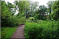
Public footpath approaching footbridge over Laughern Brook, St. John's, Worcester
The path goes to Greenacres Road on the Dines Green housing estate. Just before the low wall on the left, another public footpath goes left to a pedestrian level crossing over the railway and on to Bromyard Road.
Image: © P L Chadwick
Taken: 2 Jun 2018
0.19 miles
8
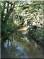
The Laugherne Brook
Seen from a bridge on a public footpath from the A44 to Dines Green.
Image: © Chris Allen
Taken: 29 Sep 2012
0.19 miles
9
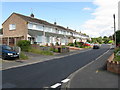
Brookside Road
There really is a brook: Laugherne Brook and nature reserve.
Image: © Peter Whatley
Taken: 19 Jun 2008
0.20 miles
10
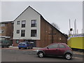
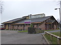
St Michael's Church, Dines Green
New church opened September 2014 as part of a £12 million redevelopment of the centre of Dines Green. This replaced a church opened in the 1960s that was no longer fit for purpose.
Image: © Chris Allen
Taken: 15 Feb 2015
0.20 miles