1
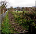
Northern edge of school playing fields, Colwall
Viewed from this http://www.geograph.org.uk/photo/4792293 squelchy path.
Image: © Jaggery
Taken: 11 Jan 2016
0.04 miles
2
Squelchy footpath in Colwall
Past the northern edge of school playing fields viewed from near Mathon Road on January 11th 2016.
Check that your boots are properly laced up, otherwise the squelchy mud may hold on to one or both of them.
Image: © Jaggery
Taken: 11 Jan 2016
0.05 miles
3
The Downs cricket pitch and pavilion
Image: © Steve Stratton
Taken: 1 Jan 2010
0.06 miles
4
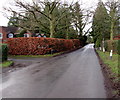
Redland Drive
A cul-de-sac off Mathon Road, complete with original estate lodge on the left.
Image: © Jonathan Billinger
Taken: 2 Mar 2015
0.07 miles
5
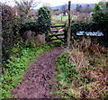
Very muddy footpath on the east side of Mathon Road, Colwall
Viewed on January 11th 2016. The notice on the right shows
PLEASE COULD DOG OWNERS
PREVENT THEIR PETS FROM
POLLUTING THE SCHOOL GROUNDS.
Image: © Jaggery
Taken: 11 Jan 2016
0.07 miles
6
Brown hedge, Mathon Road, Colwall
Dead leaves in winter, viewed on January 11th 2016.
Image: © Jaggery
Taken: 11 Jan 2016
0.07 miles
7
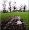
Five trees in a Colwall playing field
Part of The Downs Malvern independent co-educational preparatory
school site in Colwall, viewed from this http://www.geograph.org.uk/photo/4792197 field gate in January 2016.
Image: © Jaggery
Taken: 11 Jan 2016
0.08 miles
8
Wooden pavilion, Colwall
At the western edge of The Downs Malvern (independent co-educational preparatory school) playing fields. Mathon Road runs past the right edge of the pavilion.
Image: © Jaggery
Taken: 11 Jan 2016
0.08 miles
9
Footpath - back of the Downs School
Footpath past old orchard linking Downs School with its playing fields
Image: © Steve Stratton
Taken: 1 Jan 2010
0.09 miles
10
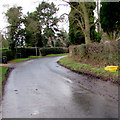
Yellow grit box near a bend in Mathon Road, Colwall
The contents of the box are used to treat the road surface in snowy or icy weather.
Image: © Jaggery
Taken: 11 Jan 2016
0.11 miles


