
IMAGES TAKEN NEAR TO
Wyre Road, PERSHORE, WR10 1PF
Introduction
This page details the photographs taken nearby to Wyre Road, WR10 1PF by members of the Geograph project.
The Geograph project started in 2005 with the aim of publishing, organising and preserving representative images for every square kilometre of Great Britain, Ireland and the Isle of Man.

There are currently over 7.5m images from over14,400 individuals and you can help contribute to the project by visiting https://www.geograph.org.uk
Image Map
Images are licensed for reuse under creativecommons.org/licenses/by-sa/2.0
Notes
- Clicking on the map will re-center to the selected point.
- The higher the marker number, the further away the image location is from the centre of the postcode.
Image Listing (47 Images Found)
Images are licensed for reuse under creativecommons.org/licenses/by-sa/2.0
Image
Details
Distance
1
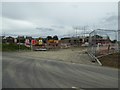
Building site on Wyre Road
Building site on Wyre Road, the B4083 on the northern edge of Pershore.
Image: © Philip Halling
Taken: 7 Jun 2017
0.04 miles
2
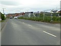
Building site beside the B4083
Houses being built beside the B4083 just off Station Road on the northern edge of Pershore.
Image: © Philip Halling
Taken: 7 Jun 2017
0.05 miles
3
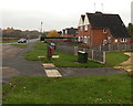
Corner of Wyre Road and Station Road, Pershore
Viewed from Station Road looking towards Wyre Road. http://www.geograph.org.uk/photo/4716824
Image: © Jaggery
Taken: 16 Nov 2014
0.05 miles
4
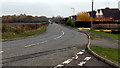
Wyre Road (B4083), Pershore
Viewed from the corner of the A4104 Station Road in the north of Pershore. This is the southwest end of the B4083, a short B road which extends for about 2km to Pinvin via Wyre Piddle.
Image: © Jaggery
Taken: 16 Nov 2014
0.06 miles
5
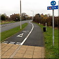
Half-a-mile to Pershore railway station
Combined footpath and cycleway on the east side of the A4104 Station Road.
Pershore railway station is not in the town of Pershore, but to the north in the village of Pinvin.
The centre of Pershore (the Abbey) is nearly 3km (about 2 miles) south of the station.
Image: © Jaggery
Taken: 16 Nov 2014
0.07 miles
6
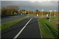
Junction of Wyre Road and Station Road, Pershore
Junction of the B4083 (Wyre Road) with the A4104 (Station Road) to the north of Pershore.
Image: © Philip Halling
Taken: 23 Nov 2008
0.07 miles
8
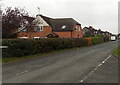
Houses on the north side of Mill Lane, Pershore
Viewed from the corner of Station Road.
Image: © Jaggery
Taken: 16 Nov 2014
0.08 miles
9
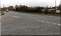
Junction in the north of Pershore
Junction of Station Road and Wyre Road. Turn left into Station Road for Pershore town centre or right for Pershore railway station and Worcester. The B4083 Wyre Road behind the camera leads to Wyre Piddle.
Image: © Jaggery
Taken: 16 Nov 2014
0.08 miles
10
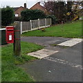
Queen Elizabeth II postbox on a pole in Pershore
Located between Wyre Road and Mill Lane, opposite Station Road, in the north of Pershore.
Image: © Jaggery
Taken: 16 Nov 2014
0.08 miles