IMAGES TAKEN NEAR TO
Runshaw Avenue, WIGAN, WN6 9JN
Introduction
This page details the photographs taken nearby to Runshaw Avenue, WN6 9JN by members of the Geograph project.
The Geograph project started in 2005 with the aim of publishing, organising and preserving representative images for every square kilometre of Great Britain, Ireland and the Isle of Man.

There are currently over 7.5m images from over14,400 individuals and you can help contribute to the project by visiting https://www.geograph.org.uk
Image Map
Images are licensed for reuse under creativecommons.org/licenses/by-sa/2.0
Notes
- Clicking on the map will re-center to the selected point.
- The higher the marker number, the further away the image location is from the centre of the postcode.
Image Listing (10 Images Found)
Images are licensed for reuse under creativecommons.org/licenses/by-sa/2.0
Image
Details
Distance
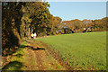
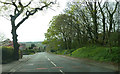
1
Footpath East of Newgate Avenue, Shevington Vale
Image: © Gary Rogers
Taken: 27 Nov 2016
0.04 miles
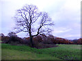
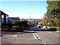
2
Fields East of Newgate Avenue, Shevington Vale
Image: © Gary Rogers
Taken: 27 Nov 2016
0.10 miles
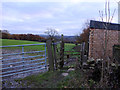
3
Pond between Hullet Hole Wood and Newgate Avenue
Image: © Gary Rogers
Taken: 27 Nov 2016
0.11 miles
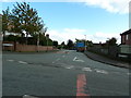
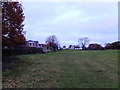
7
Back Lane, Shevington Vale
Hullet Close joins on the left
Image: © Raymond Knapman
Taken: 20 Oct 2010
0.19 miles
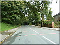
8
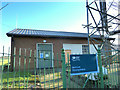
Back Lane Pumping Station, Appley Bridge
Image: © Gary Rogers
Taken: 4 Feb 2015
0.20 miles