IMAGES TAKEN NEAR TO
Adams Drive, WIGAN, WN3 5UH
Introduction
This page details the photographs taken nearby to Adams Drive, WN3 5UH by members of the Geograph project.
The Geograph project started in 2005 with the aim of publishing, organising and preserving representative images for every square kilometre of Great Britain, Ireland and the Isle of Man.

There are currently over 7.5m images from over14,400 individuals and you can help contribute to the project by visiting https://www.geograph.org.uk
Image Map
Images are licensed for reuse under creativecommons.org/licenses/by-sa/2.0
Notes
- Clicking on the map will re-center to the selected point.
- The higher the marker number, the further away the image location is from the centre of the postcode.
Image Listing (8 Images Found)
Images are licensed for reuse under creativecommons.org/licenses/by-sa/2.0
Image
Details
Distance
3
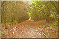
Path at Goose Green
An avenue of trees to the north of a small stream at Goose Green. Empty pop and cider bottles and beer cans made up the bulk of the litter in the foreground. This was the view looking west and the stream runs parallel to the path to the left of the picture.
Image: © Gary Rogers
Taken: 2 Nov 2008
0.18 miles
4
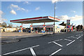
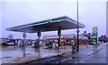
Esso Filling Station on Warrington Road, Wigan
Image: © David Dixon
Taken: 27 Oct 2019
0.22 miles
6
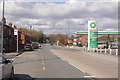
Warrington Road, Wigan
The A49 on the south side of Wigan. The filling station was charging £1.08 / l for both petrol and diesel. This is a BP station and they are usually more expensive.
Image: © Richard Webb
Taken: 17 Apr 2016
0.23 miles
7
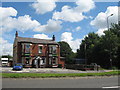
The Bulls Head, Goose Green
The Bulls Head public house on Warrington Road, Goose Green.
Image: © Sue Adair
Taken: 22 Jul 2007
0.23 miles